
SaaS · 2025
DB Drone Data
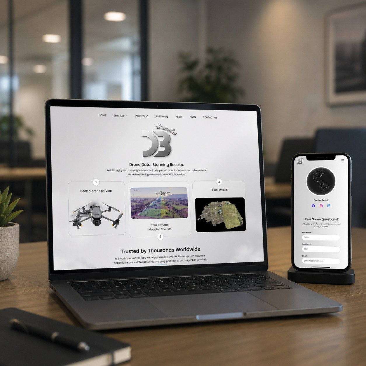
Aerial imaging, mapping and a three-step booking flow for operators who need the site model before they leave the field.
-64%
Processing time
1,200+
Surveys / month
16 weeks
Delivery
- Client
- DB
- Scope
Marketing site
Service platform
Data pipeline
- Stack
- ReactPythonPostGISAWSDocker
DB's public site had to explain a technical service in three beats: book the flight, map the site, deliver the model. We designed the homepage around that sequence and a contact path that works on a phone in the field.
Behind it, flights still produce gigabytes per hectare. The ingestion pipeline tiles, indexes and thumbnails imagery in parallel so crews see results before they pack up.
The analytics layer overlays vegetation and topography on a map surface tuned for low-bandwidth rural connections.
Next project